 |
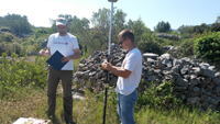 |
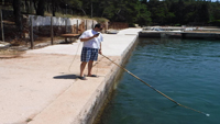
Field work was carried out on the island of Hvar from 07. to 10. June 2016.
Participants were divided into three working groups dealing with the following tasks:
- underwater mapping using GoPro camera
- checking of existing geodetic control points and GNSS measurements of new control points
- drone survey of archaeological site.